
Fort William Holiday Lodge
Fort William Holiday Lodge


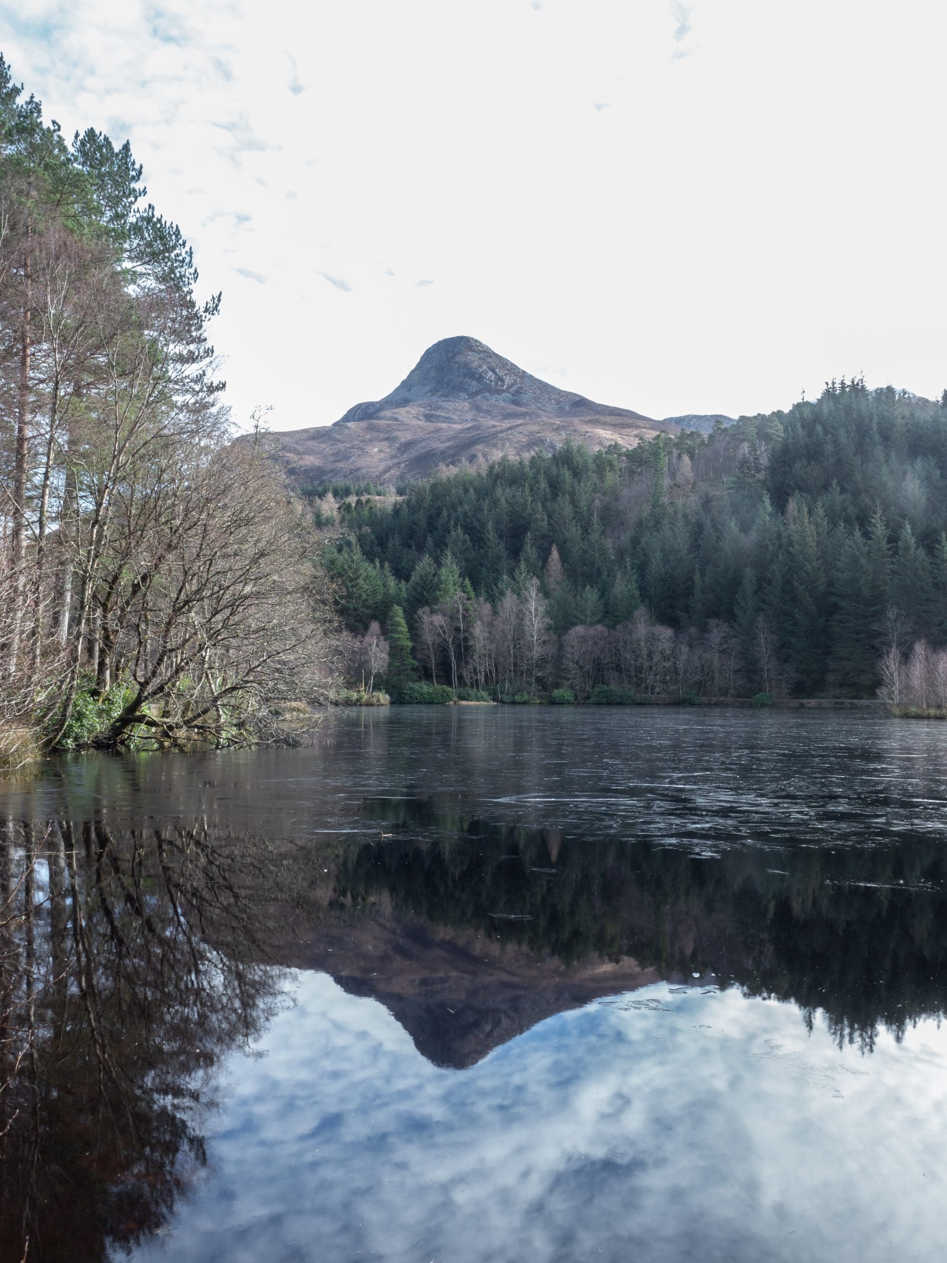


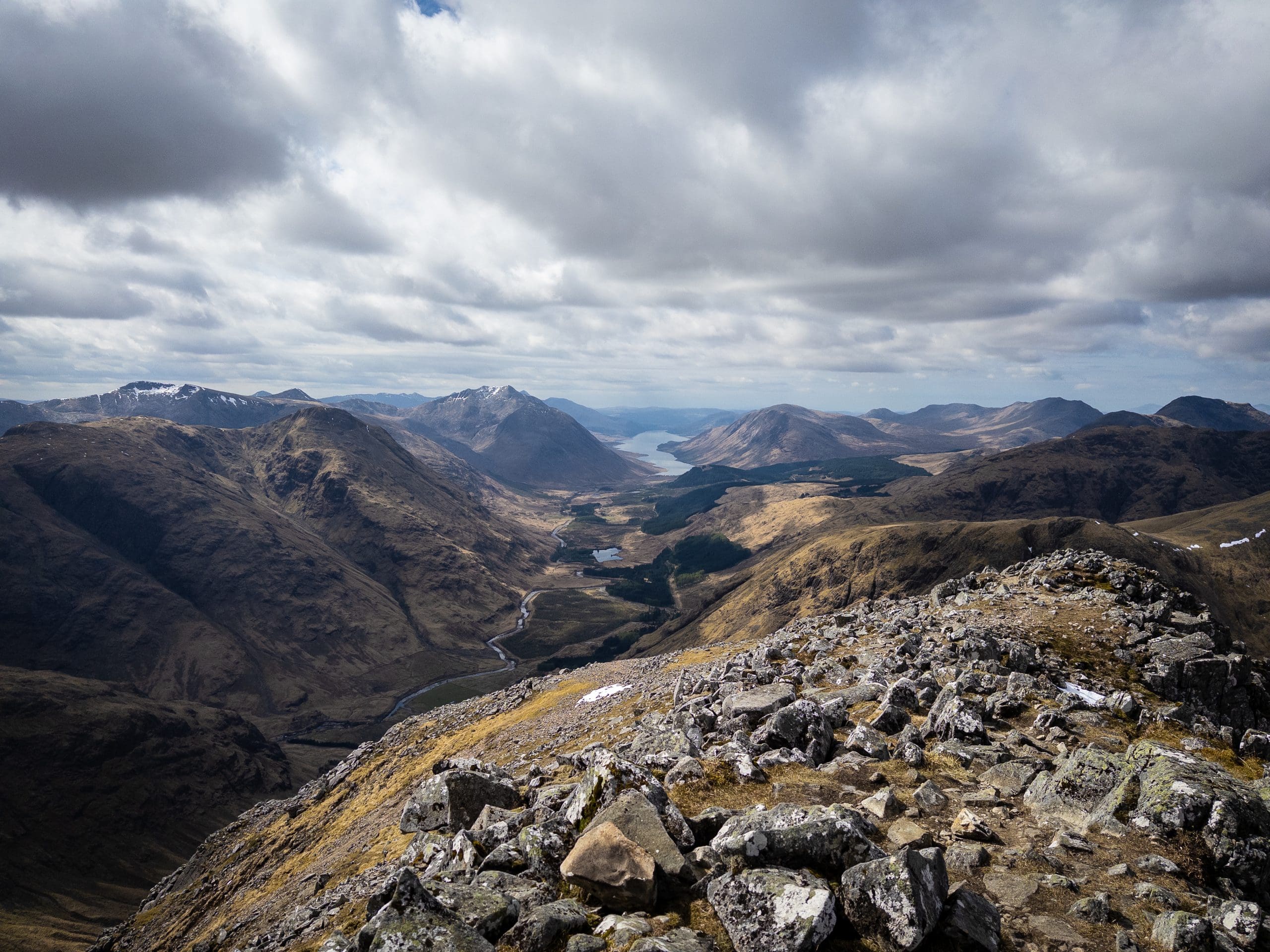


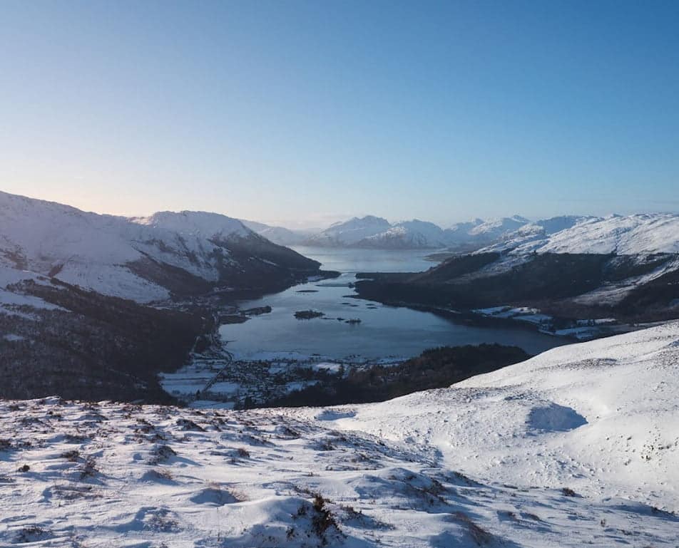
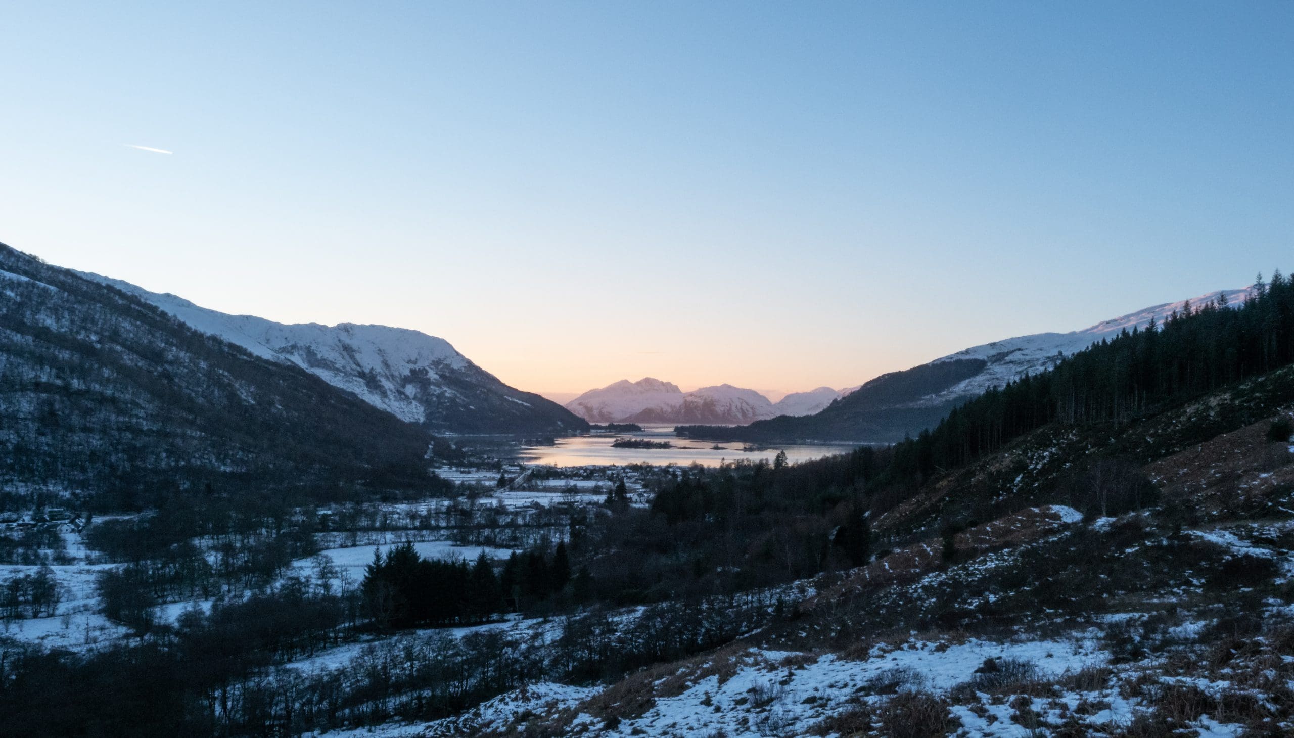
This is a relatively short but moderately steep hike offering rewarding panoramic views of Loch Leven. While not classified as a Munro, the ascent culminates in an enjoyable scramble towards the summit. This walk is a great option for those seeking a shorter, more challenging hike with excellent scenery. To complete your day, consider stopping for a meal at the nearby Clachaig Inn.
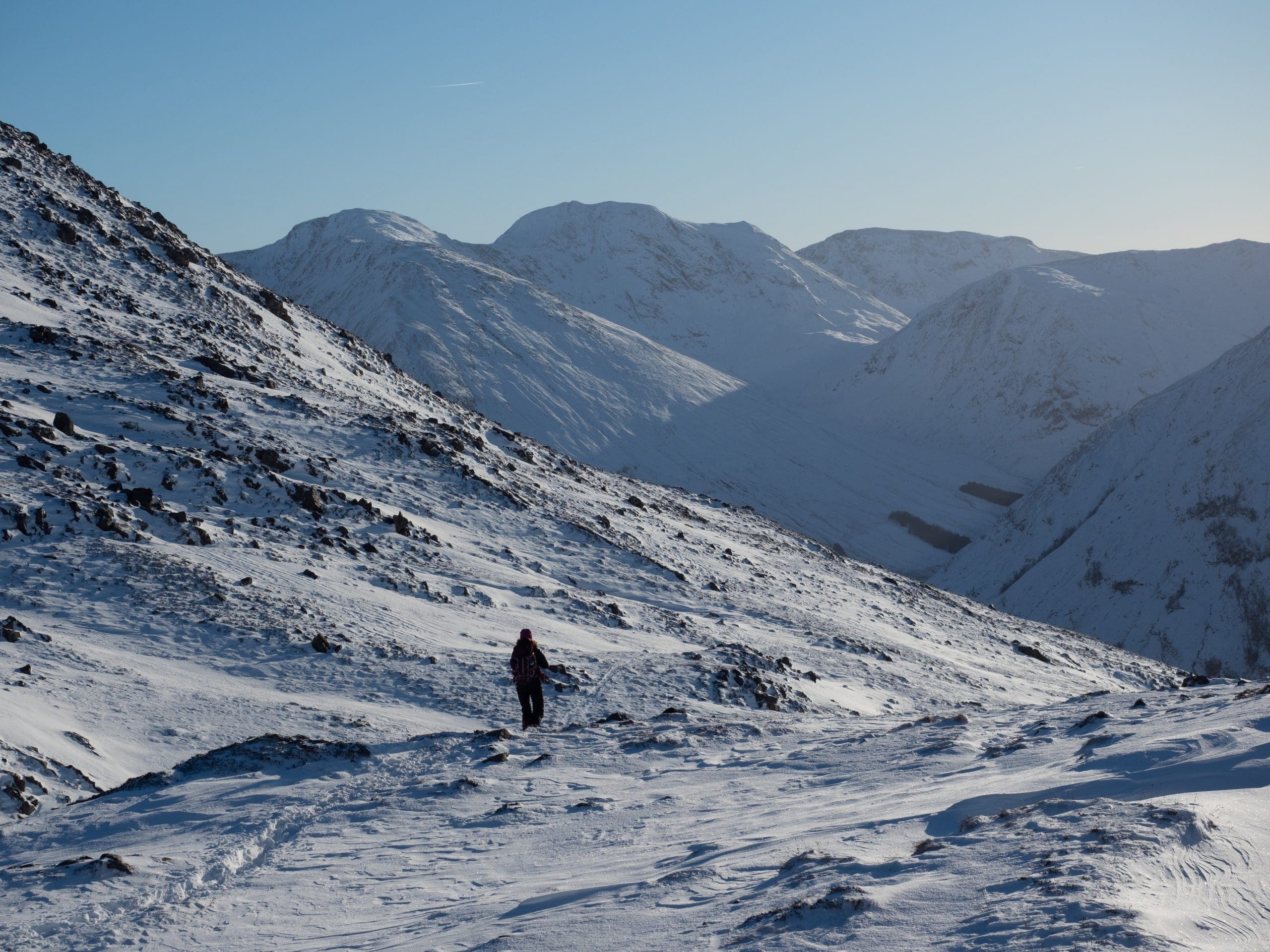
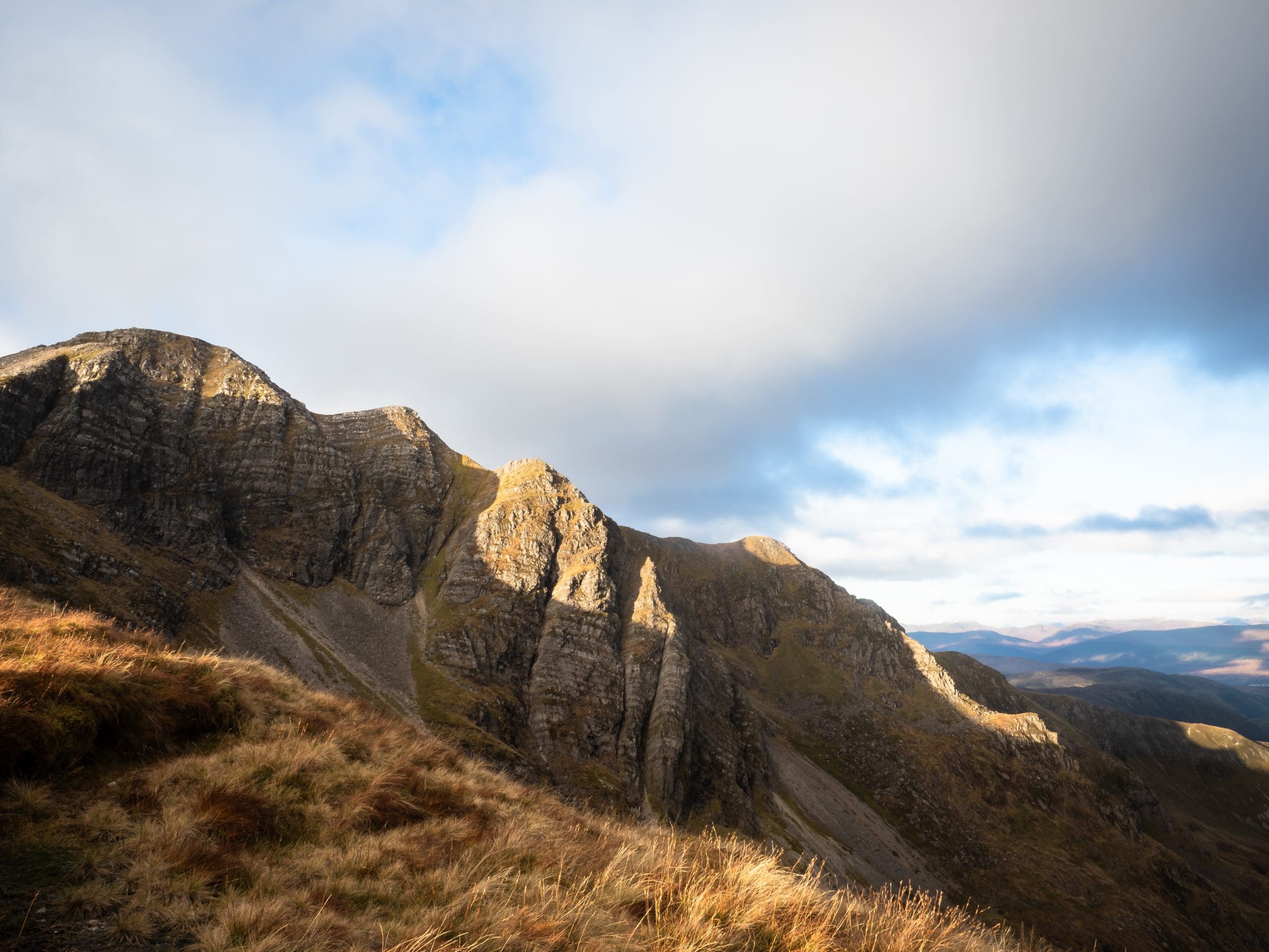
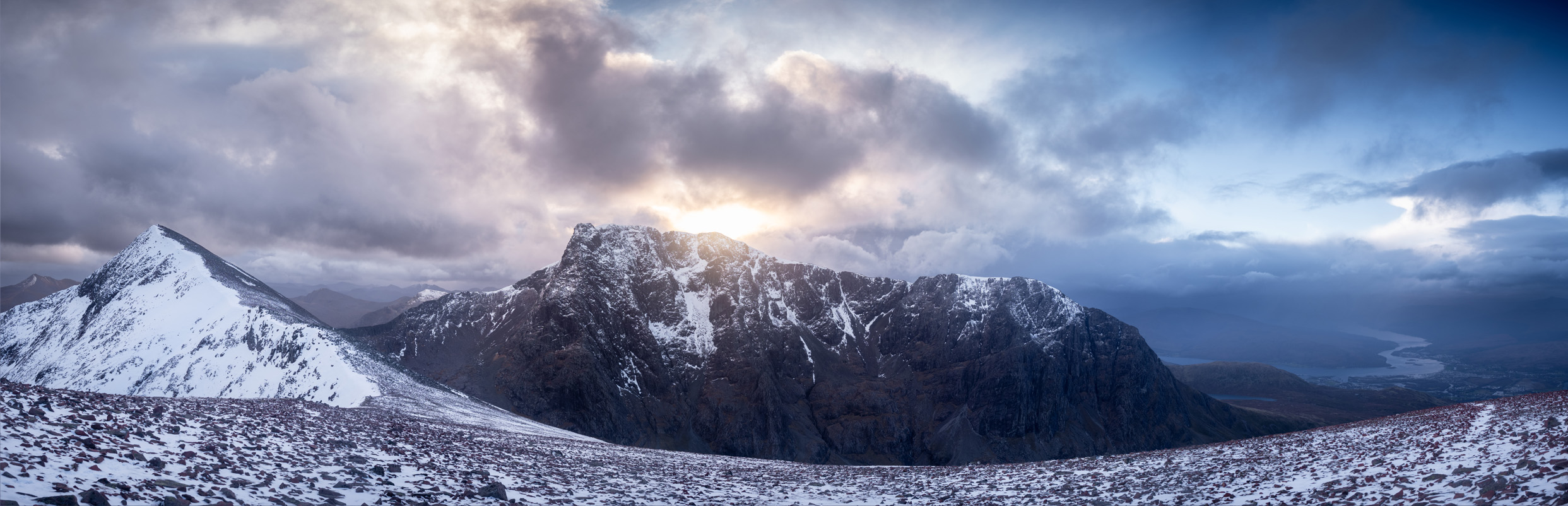
Another Munro you can see from the house, the beauty of doing these Munro’s is that you can skip out about half of the ascent by getting the Gondola from the Nevis Range. The summits are exposed so a good head for heights is needed and some skilled navigation.

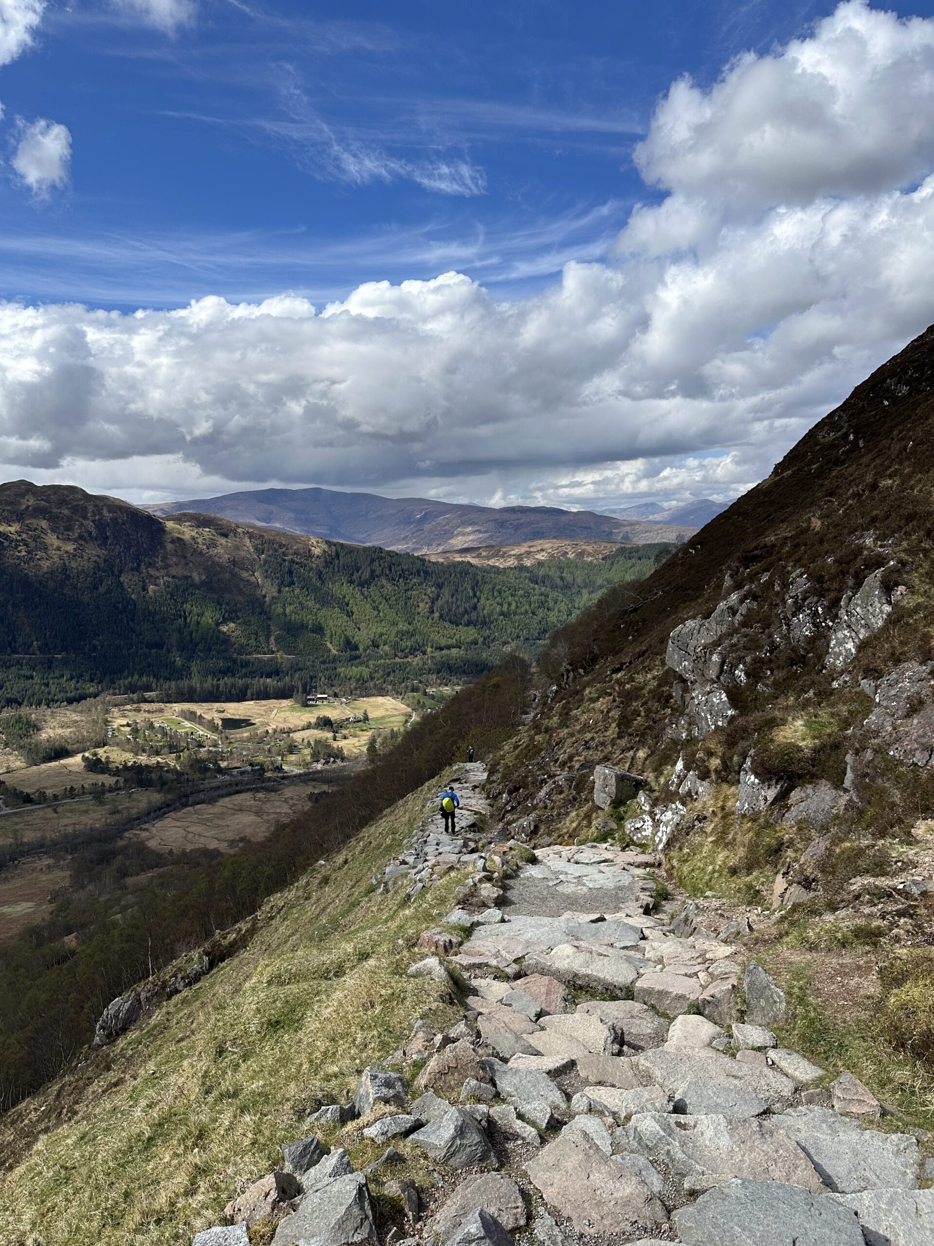
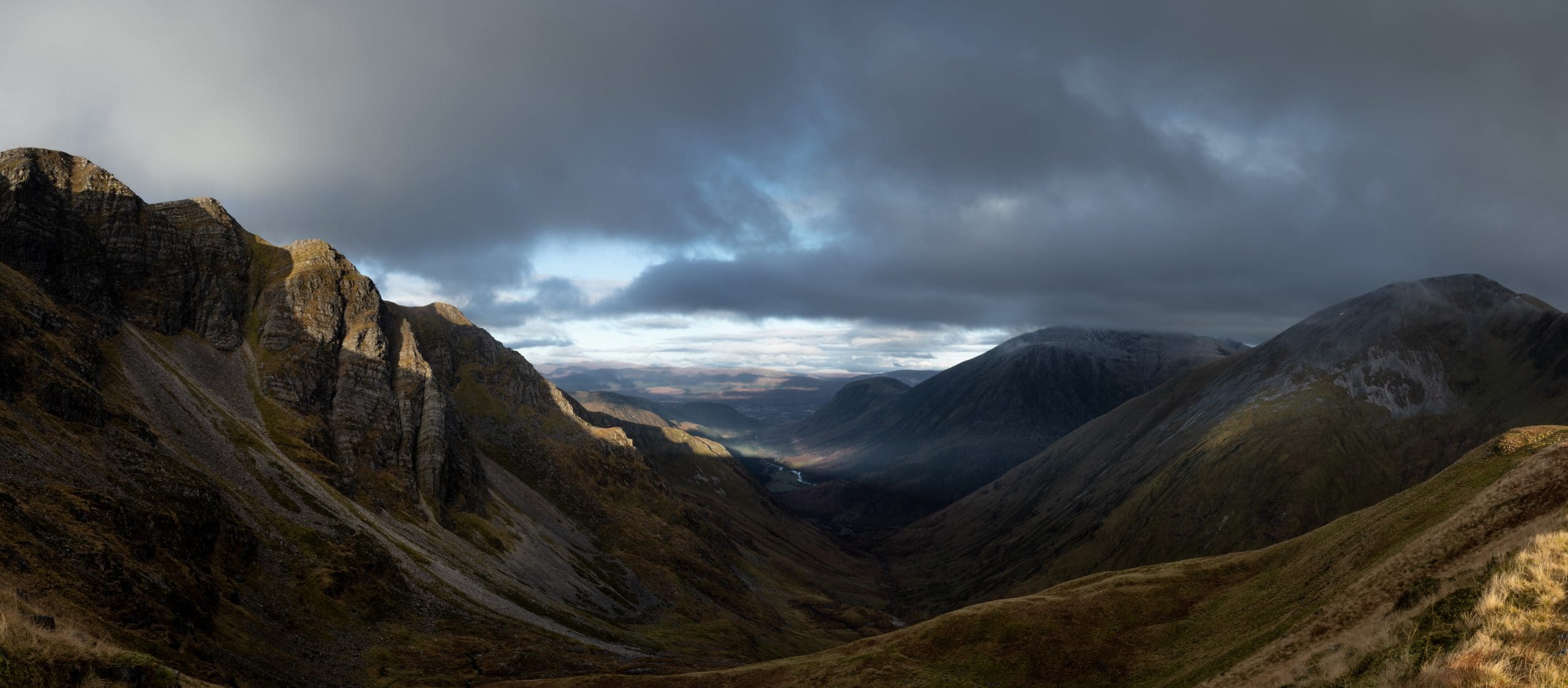
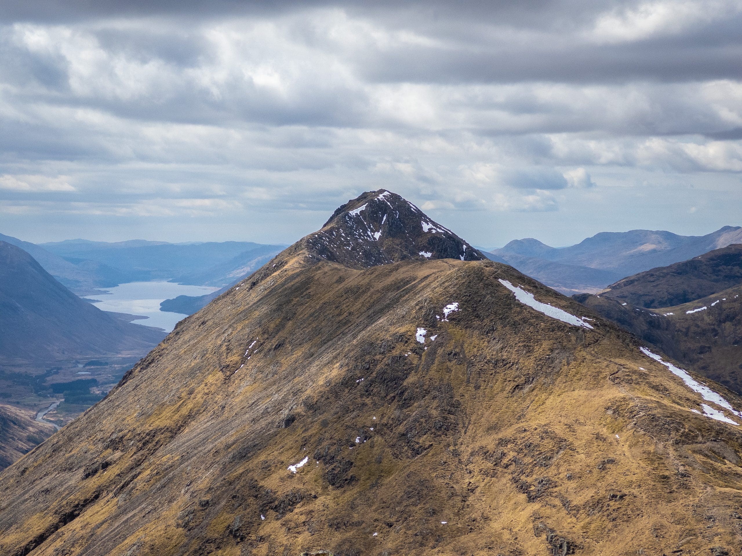
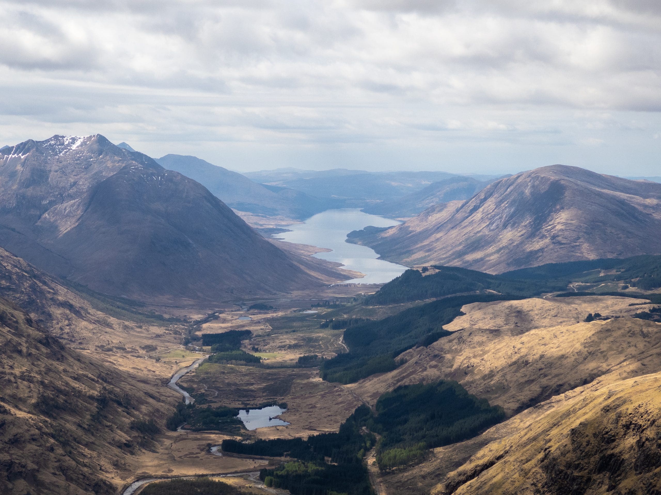
Full write up coming soon.